
Animal Health Programs
Animal Health Programs (AHP) is used to prevent and control the spread of animal disease in North Carolina. It maintains a repository of ownership, location, cooperative relationships, animal populations, and other animal health related information for NC farms.

Food Firms
Food Firms tracks food manufacturers, distributors, and retailers operating in North Carolina and contains tools to manage inspections that keep our food supply safe.
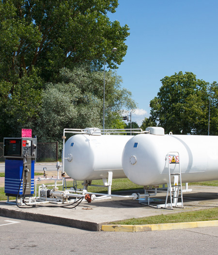
LP GRID
The Standards Division LP GRID Database tracks liquid propane distributors, inspections, licensing, and retailers operating in North Carolina. It has tools to manage inspections and licenses.
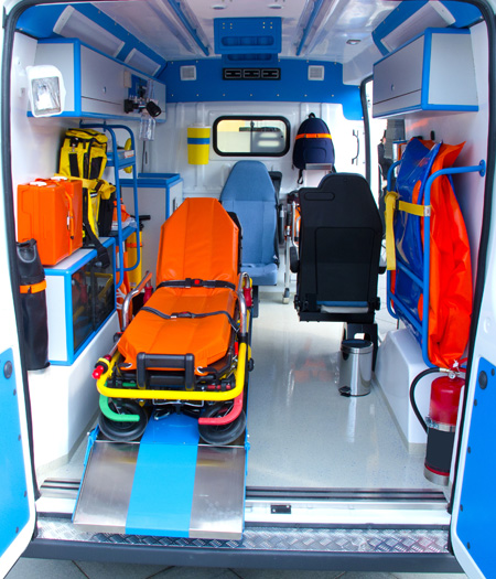
OEMS
NC OEMS and NCDA&CS have a successful relationship in the sharing of mapping and analysis resources.

IFARM
The Integrated Food and Agriculture Resource Management (IFARM) application is the primary tool used by NCDA&CS during activations. It has several configurable modules including time tracking, issuing tasks, resource management and incident command system (ICS) document management.

GIS and Online Maps
This is the gateway to the NCDA&CS spatial datasets, a robust and standardized set of geographic layers. These GIS map viewers, developed by Emergency Programs, show spatial distribution for farms, forest stands, food firms, and other infrastructure.
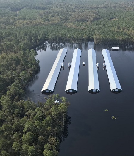
Agriculture Situational Awareness Portal
The Agriculture Situational Awareness Portal provides a centralized repository for key information, documents, and resources regarding current and historical agricultural emergency incident responses.
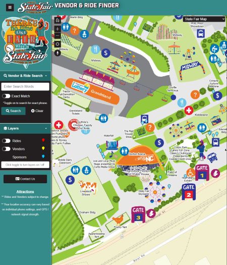
Food and Ride Finder
(Is updated 2 weeks before this year's fair)The Food and Ride Finder web application helps users locate food and rides during the North Carolina State Fair. Users can search for specific vendors, foods, and rides based on their location.
Go To